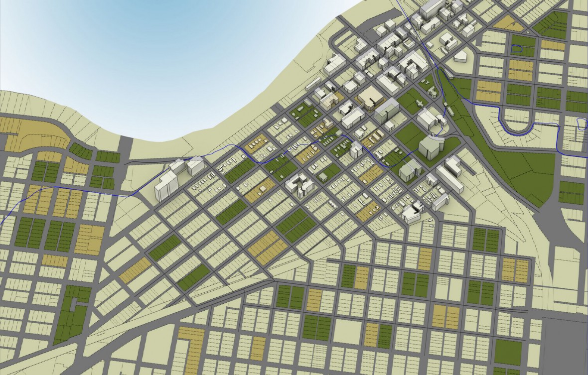
Rendering of a cityscape showing thematic mapping and analysis of land parcel, land use information, land development, and extruded building footprints. Created in AutoCAD(R) Map 3D software. Rendered in Autodesk(R) 3ds Max(R) software.
Rendering of a cityscape showing thematic mapping and analysis of land parcel, land use information, land development, and extruded building footprints. Created in AutoCAD(R) Map 3D software. Rendered in Autodesk(R) 3ds Max(R) software.